| |

The industry standard professional multispectral sensor. |

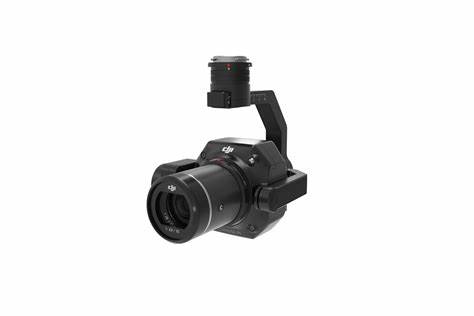
The industry standard professional multispectral sensor optimized for DJI Skyport. |

A revolutionary 3-in-1 solution for unparalleled sensing. |
| Weight |
200 g (7 oz.)
RedEdge-M + DLS + GPS |
231.9 g (8.18 oz.)
RedEdge-MX + DLS 2 |
406.5 g (14.34 oz.)
Altum + DLS2 |
| Dimensions |
9.4cm x 6.3cm x 4.6cm
(3.7in x 2.5in x 1.8in) |
8.7cm x 5.9cm x 4.54cm
(3.4in x 2.3in x 1.8in) |
8.2cm x 6.7cm x 6.45cm
(3.2in x 2.6in x 2.5in) |
| External Power |
4.2 V - 15.8 V |
4.2 V - 15.8 V |
4.9 V - 25.2 V |
| Power Input |
4.0/8.0W
(nominal, peak) |
4.0/8.0W
(nominal, peak) |
5.5/7.0/10W
(standby, average, peak) |
| Spectral Bands |
Blue, green, red, red edge, near infrared (NIR) |
Blue, green, red, red edge, near infrared (NIR) |
Blue, green, red, red edge, near infrared (NIR) |
| RGB Output |
Global shutter, aligned with all bands |
Global shutter, aligned with all bands |
High-resolution, global shutter, aligned with all bands |
| Thermal |
|
|
FLIR LWIR thermal infrared 8-14um
radiometrically calibrated |
| Sensor Resolution |
1280 x 960 (1.2 MP per EO band) |
1280 x 960 (1.2 MP per EO band) |
2064 x 1544 (3.2 MP per EO band)
160 x 120 thermal infrared |
| Ground Sample distance (GSD) |
8cm per pixel (per band) at 120m (~400 ft) AGL |
8cm per pixel (per band) at 120m (~400 ft) AGL |
5.2cm per pixel (per EO band) at 120m (~400 ft) AGL
81cm per pixel (thermal) at 120m |
| Capture Rate |
1 capture per second (all bands), 12-bit RAW |
1 capture per second (all bands), 12-bit RAW |
1 capture per second (all bands), 12-bit RAW* |
| Interfaces |
Serial, 10/100/1000 ethernet, removable Wi-Fi, external trigger, GPS, SDHC |
Serial, 10/100/1000 ethernet, removable Wi-Fi, external trigger, GPS, SDHC |
Aircraft: Trigger input, top of frame out, 1 PPS out. 3.3V isolated IO
2x USB 3.0 SuperSpeed ports for WiFi or Ethernet and USB 3.0 Storage. |
| Field of View |
47.2° HFOV (multispectral) |
47.2° HFOV (multispectral) |
48º x 37º (multispectral)
57º x 44º (thermal) |
| Storage |
SD Card |
SD Card |
USB 3.0 compatible storage devices |
| DJI Skyport compatible |
|
Yes |
Yes |

")


